tuiview
TuiView

A PyQt-based lightweight Raster GIS
 |
 |
 |
 |
 |
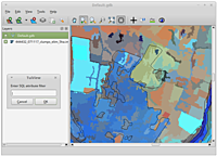 |
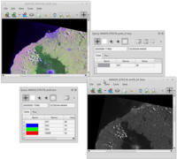
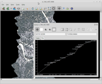
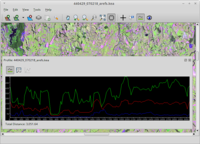
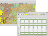
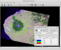
TuiView is a lightweight raster GIS with powerful raster attribute table manipulation abilities. Features of TuiView include:
- “Geo-linking” - 2 or more windows linked so they move and zoom together
- Querying and plotting of raster values
- Overlaying and querying of vector layers
- Ability to stretch data for viewing in a number of ways, and ability to set a default stretch for each type of file
- Saving and loading of stretch information into text or image files
- Profile tool
- Display of raster attribute tables and highlighting of rows for queried pixel
- Selection of raster attribute table rows based on a query, or through geographical selection
- Creation of new attribute table columns and updating of columns
- Flicker tool
Major development work on this project has been funded by Landcare Research.
Download
Binaries
Once you have installed Conda Forge, run the following commands on the command line to install TuiView from the “conda-forge” channel:
conda create -n myenv tuiview
conda activate myenv
Source
TuiView requires: Python > 3.5, Numpy, GDAL and PyQt. Download releases through git at GitHub.
Documentation
User Documentation is available in the TuiView wiki.
There is also Developer’s Documentation available.